Building Precise Maps with Disser | conveyal
Spatially aggregated statistics are pretty great, but what if you want more precision? Here at Conveyal we built a utility to help with that: aggregate-disser. Let me tell you how it works.
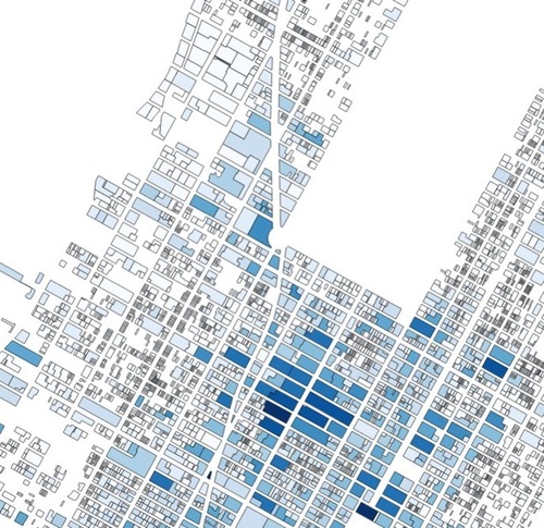
Let’s start with a classic aggregated data set – the block-level population counts from the US Census. Here’s a choropleth map of total population for blocks around lower Manhattan and Brooklyn. The darkest shapes contain about five thousand people.
See on conveyal.com